HeyWhatsThat Path
heywhatsthat
3.5
(6 votes)
3,160 Hits
Description
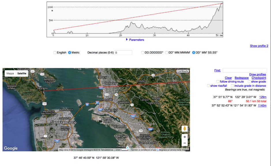
HeyWhatsThat Path Profiler is an online useful tool to do a Line of Sight calculation between yourself and the another station
Visit Resource
Opens in a new window
Ratings & Reviews
3.5
6 votes
5 ★
0
4 ★
3
3 ★
3
2 ★
0
1 ★
0
Share Your Opinion
No reviews yet. Be the first!