RF Coverage Mapping Tools for Amateur Radio
Find software and online tools to predict radio signal propagation and visualize coverage areas for your ham radio operations.
RF coverage mapping tools help ham radio operators visualize and predict how radio signals will propagate across terrain. These tools are essential for planning effective antenna installations, optimizing repeater sites, and understanding signal reach for various bands and modes. Accurate propagation predictions are crucial for successful DX operations, local QSOs, and emergency communications, allowing hams to make informed decisions about their station setup.
Operators can find software for detailed VHF and UHF propagation prediction, often using models like the Irregular Terrain Model (Longley-Rice), to analyze potential coverage from a specific site. Tools such as Radio Mobile and SPLAT! for Windows provide robust path loss and coverage prediction capabilities. Additionally, online services like CloudRF and HeyWhatsThat Path offer quick line-of-sight calculations and HF propagation forecasts, helping hams anticipate band conditions and optimize their operating times.
Related Categories
-
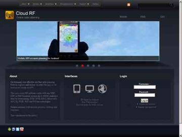 Online radio planning system, allow you to generate accurate radio frequency predictions for anywhere on earth
 -
 Geog is a suite of programs written by Andy Talbot ( G4JNT ), some of which make reference to a database of UK terrain heights, to provide useful information for radio amateurs
 -
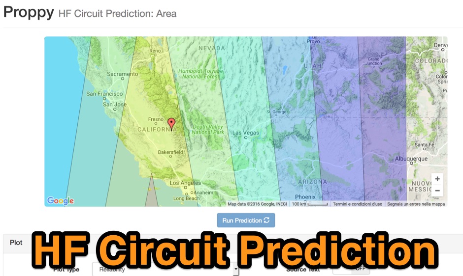 Proppy: Online HF propagation predictions using the ITU Recommendation P.533-13 Propagation Prediction Application.
 -
 Radio propagation prediction and simulation tool for VHF-UHF, based on the Irregular Terrain Model, also known as Longley-Rice. Can be used as a repeater site planing tool and radio coverage analysis. Currently it works on Linux and Windows.
 -
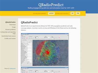
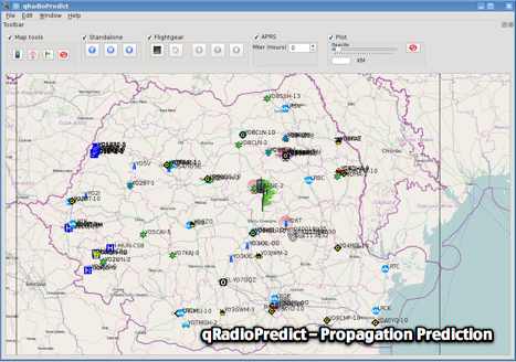 GitHub reposotory of QradioPredict, a radio propagation prediction tool for VHF-UHF, based on the Irregular Terrain Model, also known as Longley-Rice. Can be used as a repeater site planing tool. Has an internal APRS client which can be used to display stations as a landmark.
 -
 Radiomobile is an excellent and very detailed radio path mapping software, vhf uhf propagation predictor. This windows free software is a tool used to predict the performance of a radio system.
 -
 This free software is useful for visualizing terrain and performing Longley-Rice path loss and coverage prediction using the Irregular Terrain Model. A Windows port of the Linux-based SPLAT by John Magliacane.
 -
 RF Path design software, tower coverage mapping software to evaluate radio transmitter sites, predict and simulate radio coverage, plan land mobile radio or cellular systems. Commercial RF coverage mapping software by Softwright llc.
 -
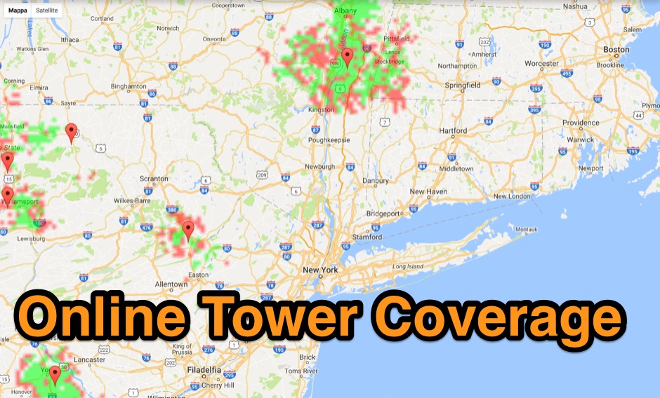 Allow you to create Tower Coverage Maps for any geographical area in the entire world. Maps are based on region and topography, taking into account for hills, mountains and trees. Commercial software allowing a free map trial
 -
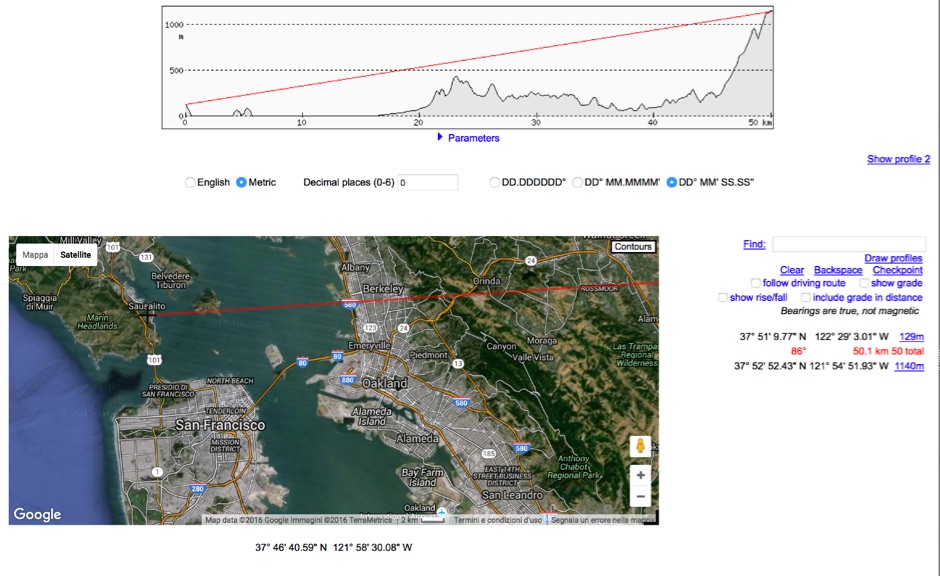 HeyWhatsThat Path Profiler is an online useful tool to do a Line of Sight calculation between yourself and the another station