
VisualLMR
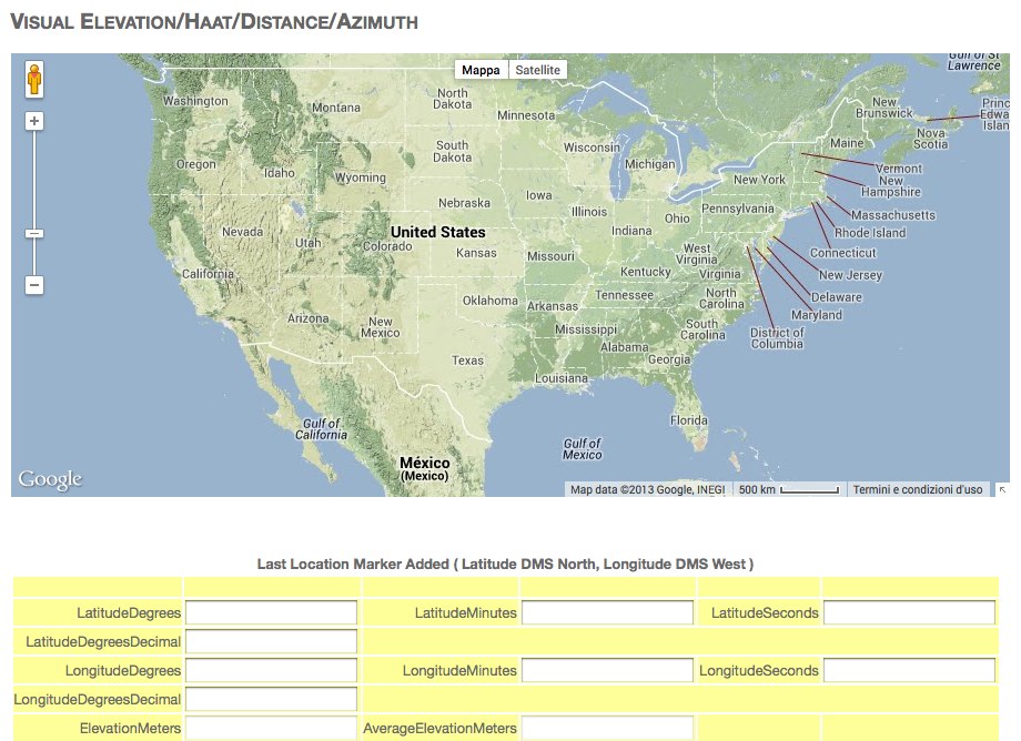
Free tools for RF Coverage mapping, visual elevation, Haat, Distance, Azimuth calculations based on google maps overlays
Resource Context: This resource is listed under the RF Coverage Mapping category at The DXZone.
It has been rated 7.88/10 by our users and is maintained in our archive for reference.
🔒 Archived Entry: This entry is currently hidden from the public directory.
Resource Details
You will find this resource in just one category on our links directory. The title of the main category is RF Coverage Mapping and it deals mainly with rf coverage mapping software . The link to this resource has been on our site since Monday Dec 30 2013, and it has been followed 3654 times. So far it received 18 votes for a total score of 7.88/10Last updated: 2019-03-07
Rate this resource
it received 18 votes for a total score of 7.88/10
The scale is 1 - 10, with 1 being poor and 10 being excellent.
Webmaster, add a Remote rating