Search results
Query: usa zone map
Links: 3 | Categories: 0
-
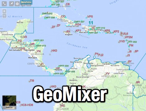 Amateur Radio Maps online mixer of different selectable layers, including DXCC references, IOTA references, ITU and WAZ Zones. Works with most web browsers make heavy javascript usage.
 -
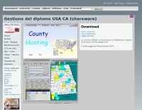 The County Hunting software, version **6.1**, is designed for amateur radio operators focused on USA-CA Award tracking and logging. This application supports _Windows_ environments and facilitates the import and export of ADIF files, enhancing QSL management by integrating electronic confirmations via LoTW and e-QSL. The software has been updated to align with the new award rules managed by MARAC, following the discontinuation of CQ magazine's involvement. Users can visualize QSLs post-scanning and benefit from enhanced ADIF import functionality. Version 5.4 introduced accelerated county searches via FCC databases, with filters for QSL confirmations and e-QSL enhancements. The software also includes a feature for backing up and restoring QSOs by LoTW confirmations. Visual County tools have been refined, offering improved map interactions and the addition of county flags. The software supports various digital modes including FT8, FT4, and SSTV, and includes functionality for PSK250 and 60m bands. The application is multilingual, with support for Italian, English, French, and Spanish, and provides automated updates and web-based county searches. DXZone Focus: County Hunting | ADIF | Windows | LoTW
 -
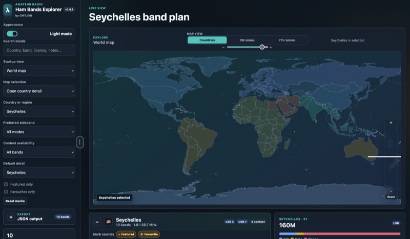 Presents an interactive **Ham Bands Explorer** web application, offering a live view of all amateur radio bands overlaid on a world map. This resource displays **CQ zones** and **ITU zones**, with geographical data sourced from HB9HIL/hamradio-zones-geojson under an MIT license. The interface provides a dynamic visualization of global band conditions, enabling operators to observe activity patterns across different regions. Users can select individual countries to retrieve and display their specific band plans, with frequency coverage details loaded from CountryData.json. The tool indicates 100% frequency coverage, ensuring comprehensive data presentation for selected regions. This functionality supports detailed analysis of national regulatory variations within the amateur spectrum. The application integrates both a map view and a live view, facilitating real-time monitoring and geographical context for band usage. It serves as a practical reference for understanding international amateur radio regulations and visualizing propagation characteristics across various frequency allocations.