Search results
Query: qso map
Links: 53 | Categories: 0
-
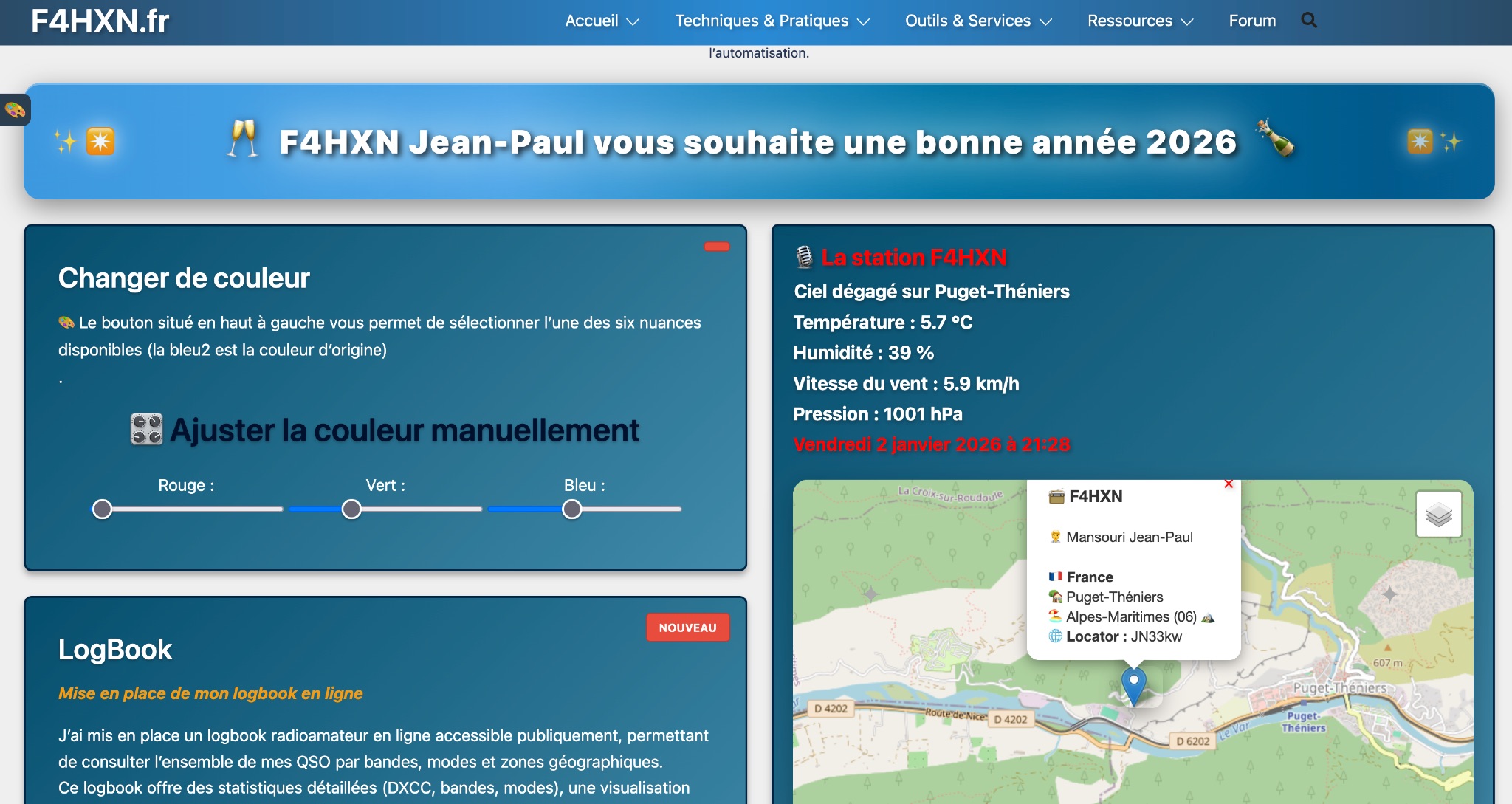 Demonstrates various technical projects and tutorials for amateur radio operators, focusing on digital modes, monitoring, and station setup. It covers topics such as implementing a _WSPR_ station, setting up ADS-B reception, configuring a _DXSpider_ cluster, and utilizing monitoring tools like Prometheus and Grafana. The resource provides practical guides for integrating modern IT solutions with ham radio activities, including Docker and Linux environments for radio applications. This site also features a publicly accessible online logbook, offering detailed statistics on QSOs by band, mode, and geographical zone, with visual mapping of contacts. It includes a comprehensive amateur radio lexicon, explaining hundreds of terms, and provides a real-time display of the F4HXN station's local weather conditions. The resource also aggregates information on upcoming ham radio events and offers a **SWR simulator** for antenna analysis, allowing users to visualize ROS changes based on frequency and antenna parameters.
 -
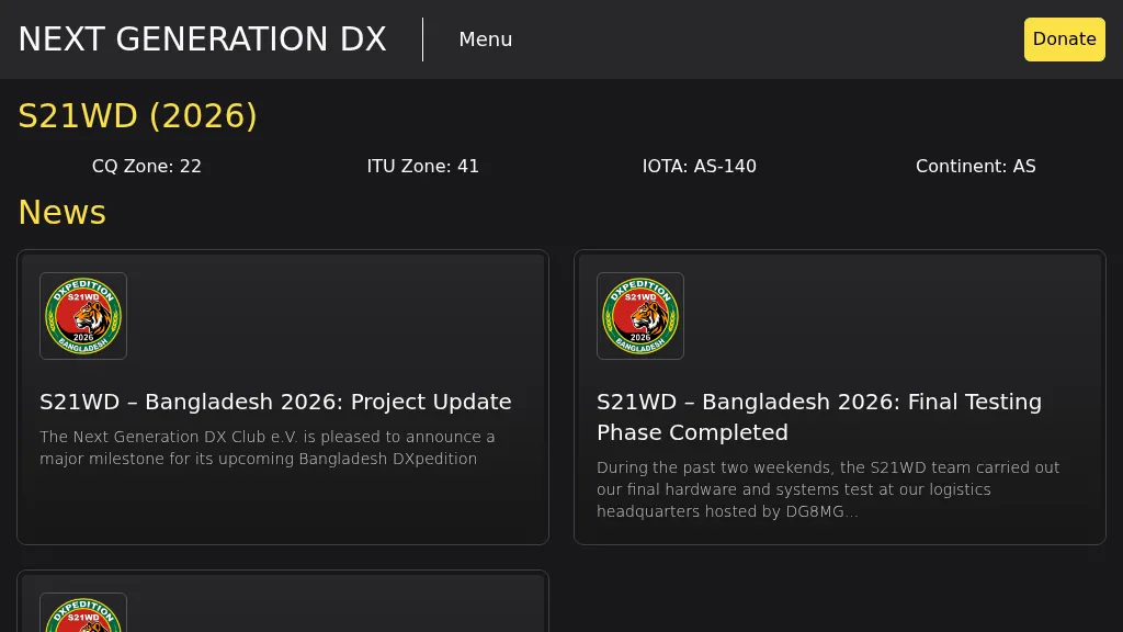 Presents the S21WD DXpedition to Bangladesh (IOTA **AS-140**) scheduled for 2026, organized by the Next Generation DX Club e.V. It outlines the project's progress, including final hardware and systems testing, and the team's successful arrival and activation from the target location. The resource provides a concise summary of Bangladesh, covering its geography, cultural aspects, and economic landscape. The page includes the Clublog Most Wanted ranking for Bangladesh, categorized by continent and mode, as of January 2026. The DXpedition aims to achieve over 70,000 QSOs across CW, SSB, RTTY, and FT8 modes, with a specific focus on RTTY (targeting over 2,000 QSOs) and **lowband** operations. The team plans a Multi-Single entry in the ARRL CW 2026 contest. QSO data will be uploaded to Clublog and LoTW, with Clublog livestream and daily free LoTW uploads anticipated, contingent on stable internet connectivity. The S21WD callsign corresponds to CQ Zone 22 and ITU Zone 41. Further details include a preliminary bandplan, FT8 operating guidelines using MSHV software, a VOACAP DX Prediction link, and an azimuthal map centered on Bangladesh. QSL services are managed by DJ4MX via Clublog OQRS, offering direct, bureau, and LoTW options, with daily LoTW uploads expected.
 -
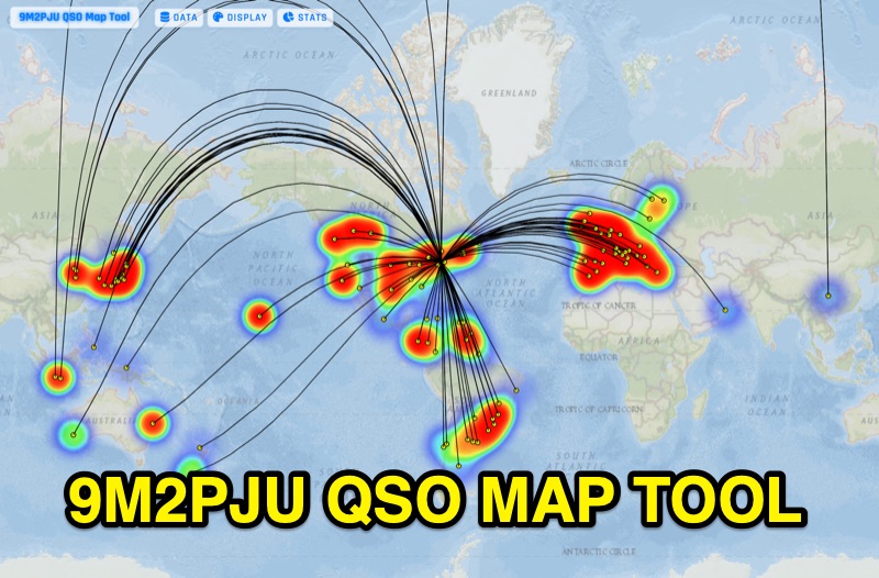 Presents the 9M2PJU QSO Map Tool, a web-based utility designed by Ian Renton for visualizing amateur radio contacts. This tool processes ADIF, Cabrillo, and SOTA CSV log files, allowing operators to plot their QSOs on a selection of base maps, including ESRI NatGeo World Map and OpenStreetMap Mapnik. Users can configure display options such as simple dot markers or xOTA hunter markers, QTH location, outlines, shadows, and geodesic lines, with coloring by band or a fixed hue. The application supports drawing per-band heatmaps and offers overlays for Maidenhead grid squares, CQ zones, ITU zones, and Worked All Britain/Ireland grids. It also provides QSO filtering capabilities and displays comprehensive log statistics, including unique calls, grid squares, CQ zones, ITU zones, and worked DXCCs. Customizable band and mode colors, alongside specific xOTA icons for programs like POTA, SOTA, WWFF, IOTA, and WCA, enhance the visual analysis of operating activity.