Search results
Query: interactive cq zone map
Links: 3 | Categories: 0
-
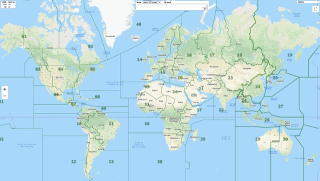 Show CQ and ITU Zone in an interactive clickable map based on google maps. Additional locator tool tip can be displayed by clicking on points, and a search function it is also available to locate addresses, and locators.
-
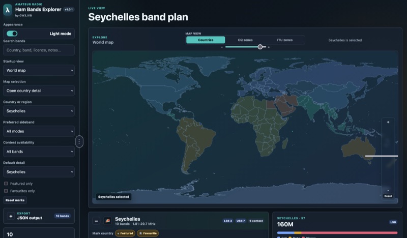 Presents an interactive **Ham Bands Explorer** web application, offering a live view of all amateur radio bands overlaid on a world map. This resource displays **CQ zones** and **ITU zones**, with geographical data sourced from HB9HIL/hamradio-zones-geojson under an MIT license. The interface provides a dynamic visualization of global band conditions, enabling operators to observe activity patterns across different regions. Users can select individual countries to retrieve and display their specific band plans, with frequency coverage details loaded from CountryData.json. The tool indicates 100% frequency coverage, ensuring comprehensive data presentation for selected regions. This functionality supports detailed analysis of national regulatory variations within the amateur spectrum. The application integrates both a map view and a live view, facilitating real-time monitoring and geographical context for band usage. It serves as a practical reference for understanding international amateur radio regulations and visualizing propagation characteristics across various frequency allocations.
-
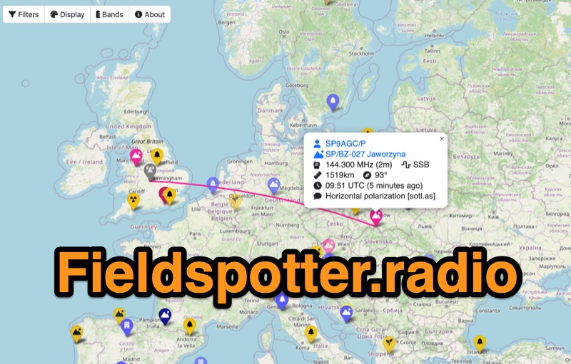 Field Spotter is a **web-based spotting tool** specifically engineered for portable amateur radio operations such as POTA, SOTA, and WWFF. It presents real-time activity on an interactive map, allowing users to visualize activator details, park/summit codes, distance, and spot age, with older spots gradually fading for clarity. The interface includes robust filtering capabilities by program, mode, and band, alongside extensive display configurations for map styles, the **terminator (greyline)**, Maidenhead grid, CQ zones, ITU zones, and WAB/WAI grids. Users can customize spot display duration, show QRT and pre-QSY spots, and select from various map providers like OpenStreetMap and ESRI. Authored by Ian Renton M0TRT, Field Spotter also incorporates features for re-spotting and provides convenient popup links to external callsign lookup services, program websites, and WebSDRs, including a 750Hz offset option for CW reception. The platform operates with a strong emphasis on user privacy, collecting no personal data and storing any location or callsign information exclusively on the user's local device, ensuring a secure and private spotting experience for portable ops.