Search results
Query: websdr map
Links: 5 | Categories: 0
-
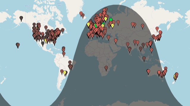 A live map of current KiWiSDR receivers available on the network. It allows users to explore a directory of web-controlled receivers for listening to HF and VHF stations worldwide. The site provides access to remote ham radio stations online, making it a valuable resource for amateur radio operators.
-
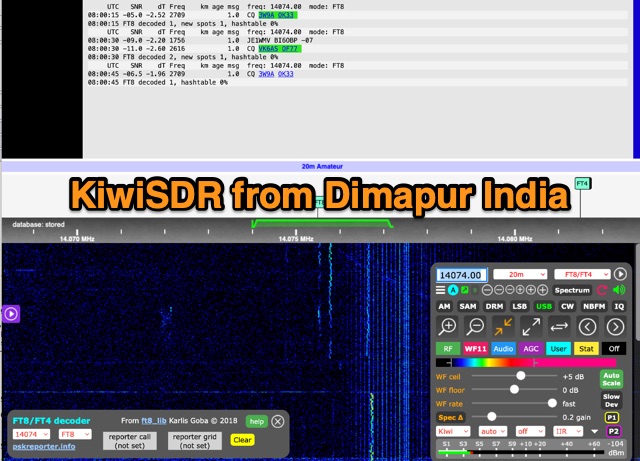 A KiwiWebSDR from Dimapur Nagaland India running a loop antenna for HF bands
-
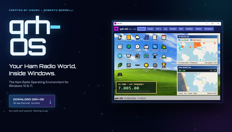 The **qrh-OS** application functions as a dedicated ham radio operating environment within Windows 10 and 11 systems, providing a consolidated platform for various amateur radio activities. It does not alter core system settings but instead presents a virtual desktop populated with specialized utilities and an integrated CAT radio system. This design aims to streamline the operator's workflow by centralizing tools often used for DXing, contesting, and general operating. Key features include a Telnet terminal for DX Cluster connections, real-time APRS tracking, and **CAT control** for transceivers, enabling one-click tuning from various integrated modules like Cluster, POTA, SOTA, WWFF, and Visual DX. The software also incorporates a worldwide Amateur Radio contest calendar, tools for Flora & Fauna activations, and displays for HF Low Bands Beacons and HF propagation conditions. Further utilities encompass a MeshCom Map, POTA Tunable, Reverse Beacons for WSPR network monitoring, SOTA Tunable, and a Timezone display. Visual DX offers an interactive globe showing DX stations and frequencies, while WebSDR/KiwiSDR access extends listening capabilities. An integrated IPTV player and real-time weather maps round out the comprehensive suite, all accessible within a single-window interface.
-
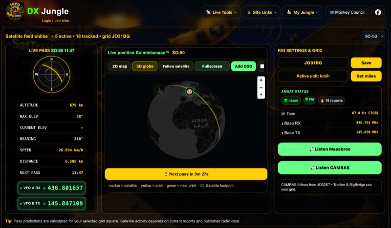 The DX Jungle SatTracker is an interactive online tool designed for real-time amateur radio satellite tracking. It incorporates live Doppler correction, AMSAT satellite status, and pass predictions for various active amateur radio satellites such as ISS, SO-50, FO-29, and RS-44. The platform calculates real-time uplink and downlink frequencies, adjusting for Doppler shift, and displays satellite footprints and orbital paths on a map interface. Users can select specific satellites and input their grid square for localized pass predictions. This service integrates WebSDR support, allowing users to listen to satellite passes live without requiring a physical radio, and offers Companion radio control capabilities. Orbital data is sourced from CelesTrak, while radio frequencies are derived from AMSAT and SatNOGS. The interface provides options to filter for FM repeater-only satellites and displays active passes, ordered by the next available pass, facilitating timely operational planning for satellite enthusiasts.
-
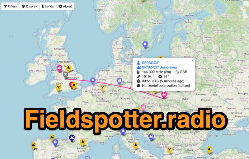 Field Spotter is a **web-based spotting tool** specifically engineered for portable amateur radio operations such as POTA, SOTA, and WWFF. It presents real-time activity on an interactive map, allowing users to visualize activator details, park/summit codes, distance, and spot age, with older spots gradually fading for clarity. The interface includes robust filtering capabilities by program, mode, and band, alongside extensive display configurations for map styles, the **terminator (greyline)**, Maidenhead grid, CQ zones, ITU zones, and WAB/WAI grids. Users can customize spot display duration, show QRT and pre-QSY spots, and select from various map providers like OpenStreetMap and ESRI. Authored by Ian Renton M0TRT, Field Spotter also incorporates features for re-spotting and provides convenient popup links to external callsign lookup services, program websites, and WebSDRs, including a 750Hz offset option for CW reception. The platform operates with a strong emphasis on user privacy, collecting no personal data and storing any location or callsign information exclusively on the user's local device, ensuring a secure and private spotting experience for portable ops.