Search results
Query: simple
Links: 553 | Categories: 4
-
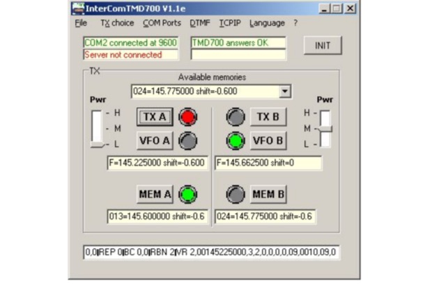 INTERCOM is a freeware application designed for remote control of KENWOOD TMD700/710/V-71 transceivers, as well as other transceivers equipped with UP, DOWN, and PTT commands. Compatible with Windows XP and higher (32 & 64-bit), INTERCOM offers multilingual support in English and French, and can be used on Linux, Ubuntu, or Android platforms via WINE 1.0 or CROSSOVER. The software enables users to send basic commands—such as selecting TX, VFO, memory channels, or power levels—either through manual inputs or over a TCP/IP link. INTERCOM is tailored for SIMPLEX setups, facilitating the interconnection of VHF/UHF repeaters with nearby repeaters. Remote commands are transmitted using DTMF codes, which are decoded by SIMPLEX and forwarded to INTERCOM via TCP/IP. This functionality makes INTERCOM an ideal tool for radio enthusiasts and operators seeking seamless remote management of supported transceivers in simplex configurations.
 -
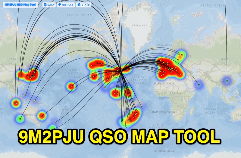 Presents the 9M2PJU QSO Map Tool, a web-based utility designed by Ian Renton for visualizing amateur radio contacts. This tool processes ADIF, Cabrillo, and SOTA CSV log files, allowing operators to plot their QSOs on a selection of base maps, including ESRI NatGeo World Map and OpenStreetMap Mapnik. Users can configure display options such as simple dot markers or xOTA hunter markers, QTH location, outlines, shadows, and geodesic lines, with coloring by band or a fixed hue. The application supports drawing per-band heatmaps and offers overlays for Maidenhead grid squares, CQ zones, ITU zones, and Worked All Britain/Ireland grids. It also provides QSO filtering capabilities and displays comprehensive log statistics, including unique calls, grid squares, CQ zones, ITU zones, and worked DXCCs. Customizable band and mode colors, alongside specific xOTA icons for programs like POTA, SOTA, WWFF, IOTA, and WCA, enhance the visual analysis of operating activity.
 -
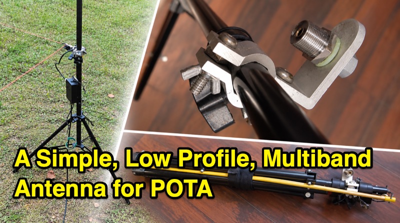 This article details the creation of a low-profile, multiband antenna designed for Parks on the Air (POTA) activations, focusing on blending into the environment. The antenna design is influenced by three concepts: Peter Waters G3OJV's "Invisible HF Vertical Ham Radio Antenna" using a 13ft vertical wire and ground radials; Greg KJ6ER's POTA PERformer antenna, which employs a raised vertical to reduce the number of radials to two; and Jim Heath W6LG's and Frank K4FMH's ideas of using a photographer's lighting tripod with a telescoping whip as the radiating element. The resulting antenna combines a shortened portable design with a raised feedpoint and two raised radial wires, suitable for multiple bands. It uses a 4:1 impedance transformer and requires a tuner, similar to a Rybakov antenna. The author, VA3KOT, built and field-tested the antenna, reporting positive results.