Search results
Query: Summit
Links: 22 | Categories: 0
-
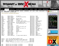 DX Summit Web Cluster, built up and operated by the members of OH9W OH2AQ Radio Club.
 -
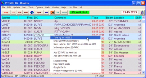 VE3SUN DX Monitor is a standalone Windows program which monitors the DX announcements available on the internet at DX Summit and presents the information in a sortable grid format and on a map centered on your location. Price USD 39.95
 -
 Founded in 1992 this DXing club has over 1725 members and is based on the 6288 feet high summit of Mount Washington in Sargents Purchase, New Hampshire, USA
 -
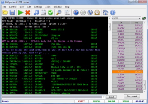 DXSpotter is a commercial Win32 HAM radio application for working with DX Clusters by using TCP/IP protocol for communications. It is adapted to satisfy most DXer's needs. DXSpotter includes 2 programs in one: DXSpotter for connections via telnet protocol to more than 200 DX Clusters, and DXSpotter-Summit for connections to OH2AQ's WEB cluster DXSummit page with automatic page refresh Price USD 25
 -
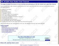 Information on how to access the IRC #CQDX chat room for DXers. Also contains a live feed of DX spots directly from DX Summit.
 -
-
 DXPocketâ„¢ is a fast, stable, low-traffic, and easy-to-use DX Cluster program for Android-powered smartphones and devices. DXPocket monitors the DX Spots and Announcements available on the Internet at DX Summit web site and presents the information in a sortable grid format. With a few taps you can find a required station in the Cluster, obtain DXCC information of selected DX, send DX Spot or Announcement.
 -
 Summits on the Air is an exciting new award scheme for radio amateurs which encourages operation in mountainous and wilderness areas. The sceme is designed to grow into an international awards.
 -
 We are a Club consisting of 120+ members from the Summit/Portage County area
 -
 An interactive map for sota operations. SOTA Activators and cheasers will find this summits mapping site very useful resource. Based on Google maps.
 -
-
 Official summits on the Air discussion group
 -
 Serving Akron, Ohio, Summit County and the surrounding area since 1981
 -
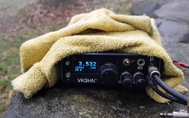 Summit Prowler 6 is a pocket-sized SSB/CW transceiver for 80, 40, 30 and 20m
 -
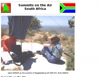 Summits on the Air South Africa formed in October 2002 to draw up an Association Reference Manual and compile a list of South African summits that can be activated or contacted for SOTA awards
 -
 Summits on the air, sota. an exciting new award scheme for radio amateurs. the scheme encourages lightweight portable ham radio operating in mountainous and wilderness areas areas.
 -
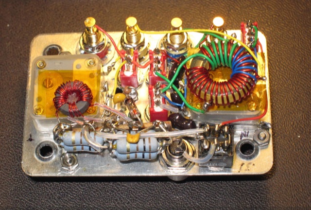 This is a detailed, technical piece, intended mostly for makers and more creative activators, who enjoy building and using their own tools on the summits. A multiband portable antenna tuner supporting 10W, small and light, suitable for SOTA operations
 -
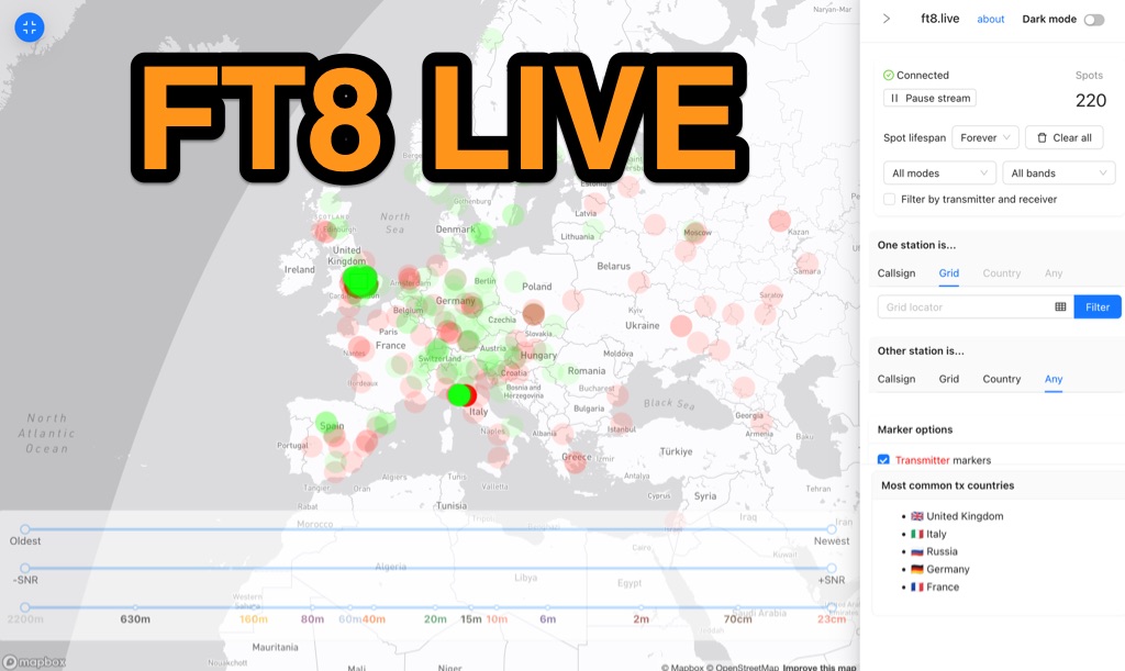 FT8 Live is a specialized web-based tool designed for the real-time graphical visualization of amateur radio propagation spots. Leveraging the data infrastructure of the PSK Reporter MQTT stream, the platform provides immediate situational awareness for radio operators. While the tool’s nomenclature references the dominant FT8 digital protocol, it offers broad compatibility, displaying spots from various other modes including CW, WSPR, and JT65. Distinct from the official PSK Reporter map, FT8 Live focuses exclusively on live data streams, eschewing historical archiving to prioritize current signal activity. A defining feature of the platform is its integration with the Summits on the Air (SOTA) API. This functionality facilitates "SOTA chasing" by automatically cross-referencing transmitting callsigns with SOTA alerts; a station is identified as an activator if the spot correlates with a scheduled alert within an eight-hour window. The tool represents a collaborative technical effort, featuring a user interface developed by Arron (ZL1AN), utilizing core data from Philip Gladstone (N1DQ), and stream delivery via Tom Stanton (M0LTE).
 -
 A real-time, responsive map view of APRS (Automatic Packet Reporting System) information, CWOP (Citizens Weather Observer Program), and other APRS-IS sources across the world. The N2RWE Real-time APRS Map leverages cutting-edge technologies and custom software to present a dynamic and user-friendly platform for visualizing Automatic Packet Reporting System (APRS) data. This web application aggregates real-time station locations from various public sources, offering a comprehensive view of APRS activity. It caters to both novice and experienced users by providing features like Maidenhead Grid maps, station lists, license plate searches, and advanced tools for geolocation, address lookup, and data analysis. Additionally, the platform integrates with Summits on the Air (SOTA) information, enhancing the experience for SOTA enthusiasts. By actively supporting the #APRSThursday net, the N2RWE Real-time APRS Map fosters a collaborative environment for the APRS community.
 -
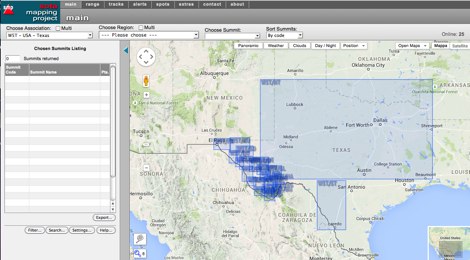
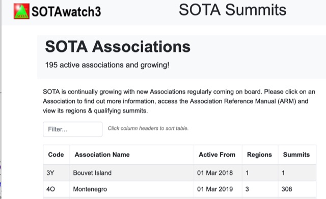 SOTA is continually growing with new Associations regularly coming on board. Click on an Association to find out more information, access the Association Reference Manual (ARM) and view its regions and qualifying summits.
 -
 SOTA Goat is an essential tool for Summits On The Air participants, offering an offline summit database, comprehensive search features, and real-time spotting through SOTAwatch3. Designed for iOS devices, it aids in planning and completing activations seamlessly.
 -
 Ham2K PoLo is an android Portable Logger, Support for Parks On The Air (POTA), Summits On The Air (SOTA), Field Day, Winter Field Day, Worldwide Flora and Fauna (WWFF) and more. Fast and efficient yet fully-featured: QRZ.com name lookups, QSO Maps, offline data files, contact rates, duplicate warnings, POTA spots, search parks nearby or by name, etc.