WEFAX: Weather and Amateur Radio Facsimile
Learn about WEFAX operation, frequencies, and equipment for receiving weather images from satellites and HF broadcasts.
WEFAX, or Weather Facsimile, allows ham radio operators to receive weather charts and satellite images directly from broadcast stations and orbiting satellites. This mode provides real-time visual weather data, which is especially useful for marine operators, storm spotters, and anyone interested in atmospheric conditions. Hams often use WEFAX to monitor weather patterns, track storms, and enhance their understanding of propagation conditions by observing large-scale meteorological events.
Operators can find detailed schedules for marine radiofax broadcasts and lists of frequencies used for WEFAX transmissions worldwide. Many resources also cover the Automatic Picture Transmission (APT) system used by weather satellites, explaining how to set up a station for receiving these images. Information on building suitable antennas, such as the Double Cross Satellite Antenna, is also available, alongside real-time satellite tracking tools like N2YO to help hams predict satellite passes for optimal reception.
Related Categories
-
 Automatic Picture Transmission (APT) is used by Satellites to enable a fully automated unattended reception of the transmitted pictures.
 -
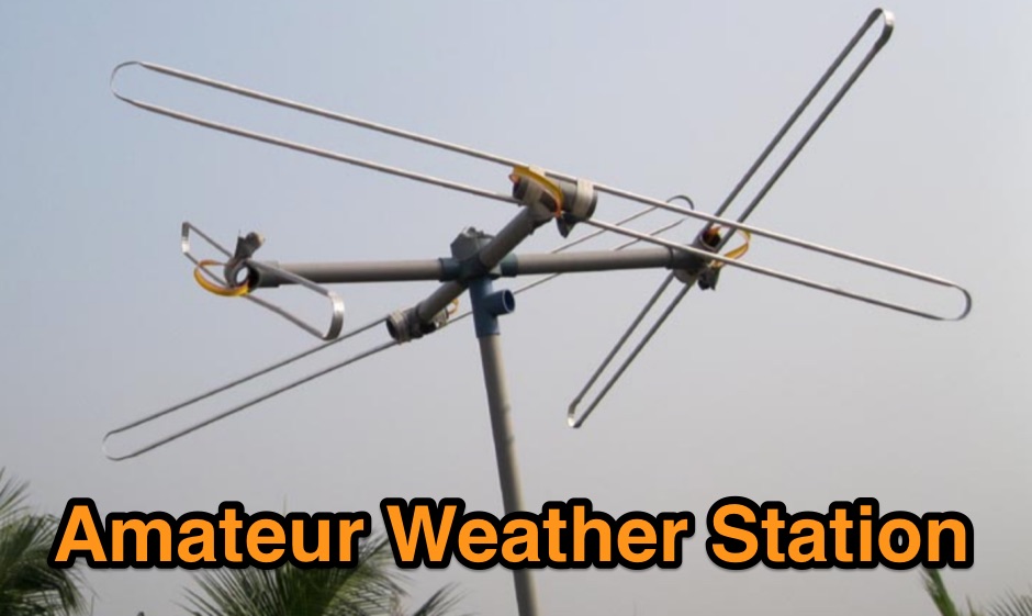
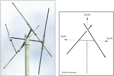 An easy to build antenna for ground reception of NOAA weather or amateur satellite signals. Double cross antenna by Gerald Martes
 -
 If you are interested in the environment, the weather and other natural phenomena then there is something magical about being able to see pictures of the earth from space just as it is right this minute. One way you can do this is by receiving images from weather satellites.
 -
 The home of Radio Facsimile wefax & SSTV.
 -
 Select your favorite satellite and watch its trajectory on Google Maps in real time! Includes ISS tracking, Weather, Geostationary, GPS Military, and of course Amateur radio satellites. N2YO provides comprehensive real-time satellite tracking with particular emphasis on amateur radio satellites. The service offers precise pass predictions calculated for user-specific locations, displaying upcoming passes with azimuth, elevation, and duration data essential for ham operators planning satellite contacts. N2YO features dedicated tracking for amateur radio satellites including FM, linear transponder, and digital satellites, with frequency information and downlink/uplink details. The platform delivers live tracking visualizations on interactive maps, Doppler shift calculations, and automated email notifications for upcoming passes. This free resource integrates weather satellite tracking alongside NOAA imagery, making it invaluable for radio enthusiasts pursuing satellite communications.
 -
 The following very comprehensive list was produced by G6DOF and has been extracted from the amateur radio packet network
 -
 SSTV Fundamentals, frequencies in use for SSTV and many SSTV related infos, includes Fax basics
 -
 A page describing all element of a weather statio for NOAA weather satellite image reception
 -
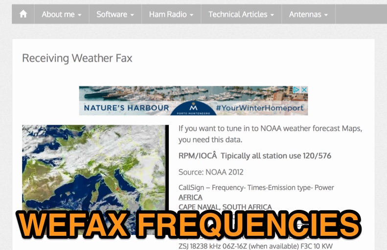 List of latest published Weather Fax world wide schedule including frequencies and modes.