APRS
APRS Software
Sort:
Related Categories
-
 DIGI_NED is a simple software solution for PC based APRS digipeaters. DIGI_NED offers maximal flexibility in both software and hardware and has proven to be a future proof platform for APRS digipeaters.
 -
 APRS over digimodes including PSK, QPSK and GMSK with digipeating and two way HF internet gateway to the APRS-IS
 -
 PinPointAPRS offers a modern APRS solution with unique features for tracking and communicating with people using Ham Radio equipment. It is free for individual use and can be used as a tactical communications tool during emergencies. The software does not require an internet connection and is self-contained, making it versatile for various scenarios.
 -
 The purpose of the APRS-Beacon is to provide simple APRS-compatible position beacons for up to three Objects. It is designed to 'stand alone' and does not monitor other traffic on the frequency. It can use a single-port TNC (in 'native' mode), a single- or dual-port TNC in Kiss mode or the AGW Packet Engine in order to transmit on up to four radio ports.(When running with AGWPE, APRS-Beacon will also work with Windows 2000)
 -
 APRSdroid - Android APRS reporting tool
 -
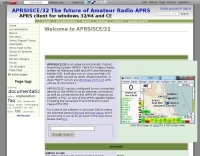 APRSISCE/32 is an Automatic Packet Reporting System (APRS) program, primarily intended for Windows and Windows Mobile (CE), although it will run on Linux and Mac OS under wine. Offer enhanced messaging, announcement support via ANSRVR, and QRU for object query support, can run as a highly configurable Digipeater
 -
 APRSmap is a new APRS client software by OE5DXL, which is based on the OSM map source. It allows a lot of features in only one program by a good usability. NO installation is required, just put it on a disk an run it
 -
 D-PRS converts these position reports from remote D-STAR radios to an APRS format. Windows .net application
 -
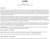 D-PRS is GPS for ham radio. Includes DStarTNC2, javAPRSSrvr, DStarInterface, and TNC-X. D-PRS is the act of converting Icom GPS information generated by Icom D-STAR radios in GPS mode into TNC2 fomatted APRS strings.
 -
 Depiction mapping software can download and integrate maps, elevation plots, weather data, situation reports, damage assessments, volunteer movement, and more. It interface with your APRS ssystem
 -
 Dire Wolf is a software soundcard modem and APRS encoder/decoder. It can be used stand-alone to receive APRS messages, as a digipeater, APRStt gateway, or Internet Gateway (IGate). It can also be used as a virtual TNC for other applications such as APRSIS32, UI-View32, Xastir, APRS-TW, YAAC, UISS, Linux AX25, and many others.
 -
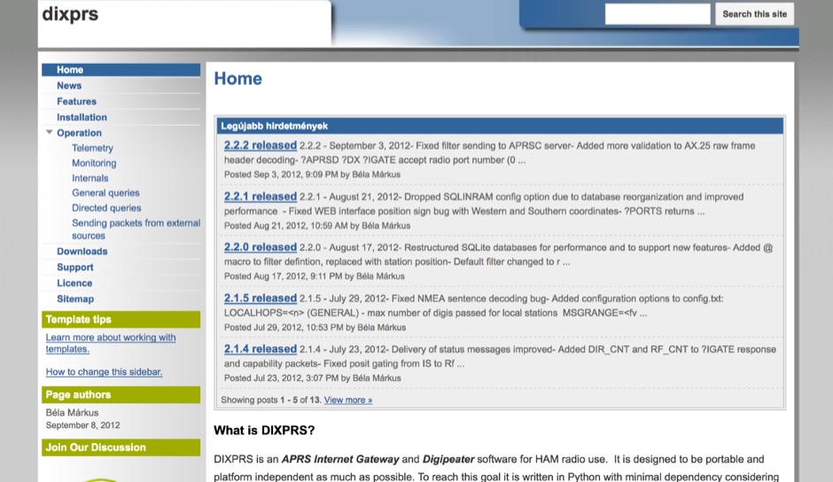 DIXPRS is an APRS Internet Gateway and Digipeater software for HAM radio use. It is designed to be portable and platform independent as much as possible. To reach this goal it is written in Python with minimal dependency considering older versions of operating systems and Python.
 -
 Macintosh automatic position reporting system, developed by Bob Bruninga, WB4APR, to track boats and vehicles using GPS and packet radio. MacAPRS was written by Keith Sproul, WU2Z and Mark Sproul, KB2ICI
 -
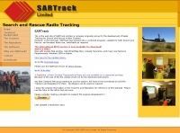 Free windows radio tracking software for search and rescue
 -
 ShipPlotter displays complete information about ships that are within VHF range of your position using the Universal Automatic Identification System (AIS).
 -
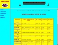 some maps for the UI-View program that SM7DKF is using for APRS
 -
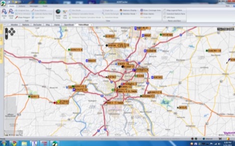
 AGWTracker APRS program with lot's of features, map display, and more
 -
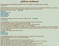
 A cool add-on to UI-View, that enables to use the free datas of OpenStreetmap to generate APRS maps for UI-View in a few mouse clicks.
 -
 UI-View is an APRS client that runs on Windows. This application differs from most APRS software in that it isn't designed just to be used with TNCs in terminal mode. UI-View also supports TNCs in KISS mode, AGWPE host mode and BPQ host mode. The 32 bit version of UI-View also supports WA8DED/TF host mode, and the variant of it used in the SCS PTC-II and PTC-IIe.
 -
 Free Windows APRS Client with capability of downloading free aerial photo and topo map data.
 -
 Automatic Position Reporting System windows program, allow monitoring of real time geographical information such as the position of vehicles, the status of weather, radio direction finding and more.
 -
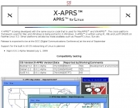 APRS for Linux is a multifaceted system for use with packet radio by Hams, it allows the monitoring of real time geographical information such as the position of vehicles, the status of weather, radio direction finding and much much more. It envolves mapping, GPS tracking, packet radio, etc
 -
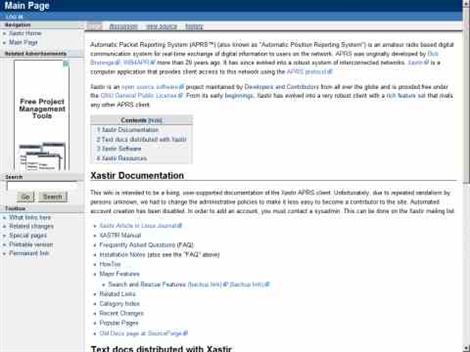 Xastir is program for receiving and plotting APRS position packets. Development is a collaborative effort of programmers and amateur radio enthusiasts from around the world. Xastir supports many map formats and is highly customizable. Xastir runs on Windows/MacOSX/Linux/FreeBSD/Solaris/Lindows. It supports 125 map formats, several types of TNC's and weather stations, Festival speech synthesizer, AX.25 networking (Soundmodem/Baycom/SCC!) and seven languages!.
 -
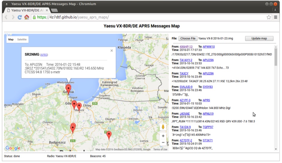 Yaesu VX-8DR/DE received APRS beacons map based on Google Maps. The application parses Chirp's .img files and shows the QTH of the incoming APRS messages.
 -
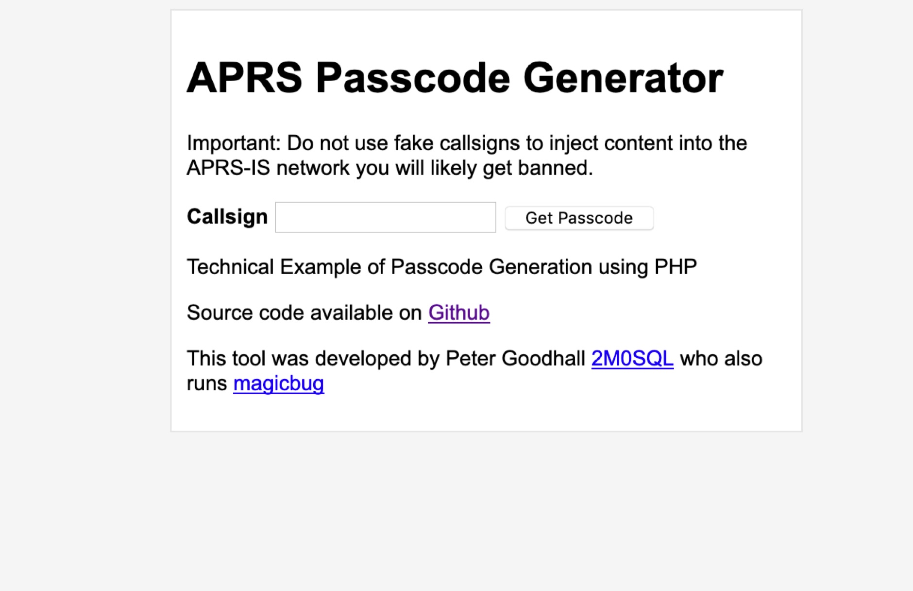 Generate APRS Passcode using PHP for use in Amateur Radio APRS Applications when connecting to the APRS-IS Network
 -
 How-to decode and Display APRS Packets from WebSDR Audio using linux computer
 -
 Xastir MacOSX APRS software for receiving and plotting APRS(tm) position packets. Xastir supports many map formats and is highly customizable
 -
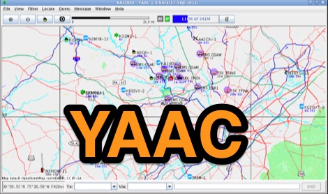 Yet Another APRS Client, is a free Java application written by Andrew Pavlin, KA2DDO, for monitoring and contributing to the APRS network. YAAC can be used as a stand-alone APRS client, an APRS RF-Internet gateway (I-Gate), or as a AX.25 digipeater.